Python, web GIS & applied technologyAutomate the repeatable work.
Keep the judgment geological.
LongRange can build project-specific scripts, data pipelines, small internal apps, and interactive web maps that reduce repetitive work and make technical information easier to explore.
Live case study01
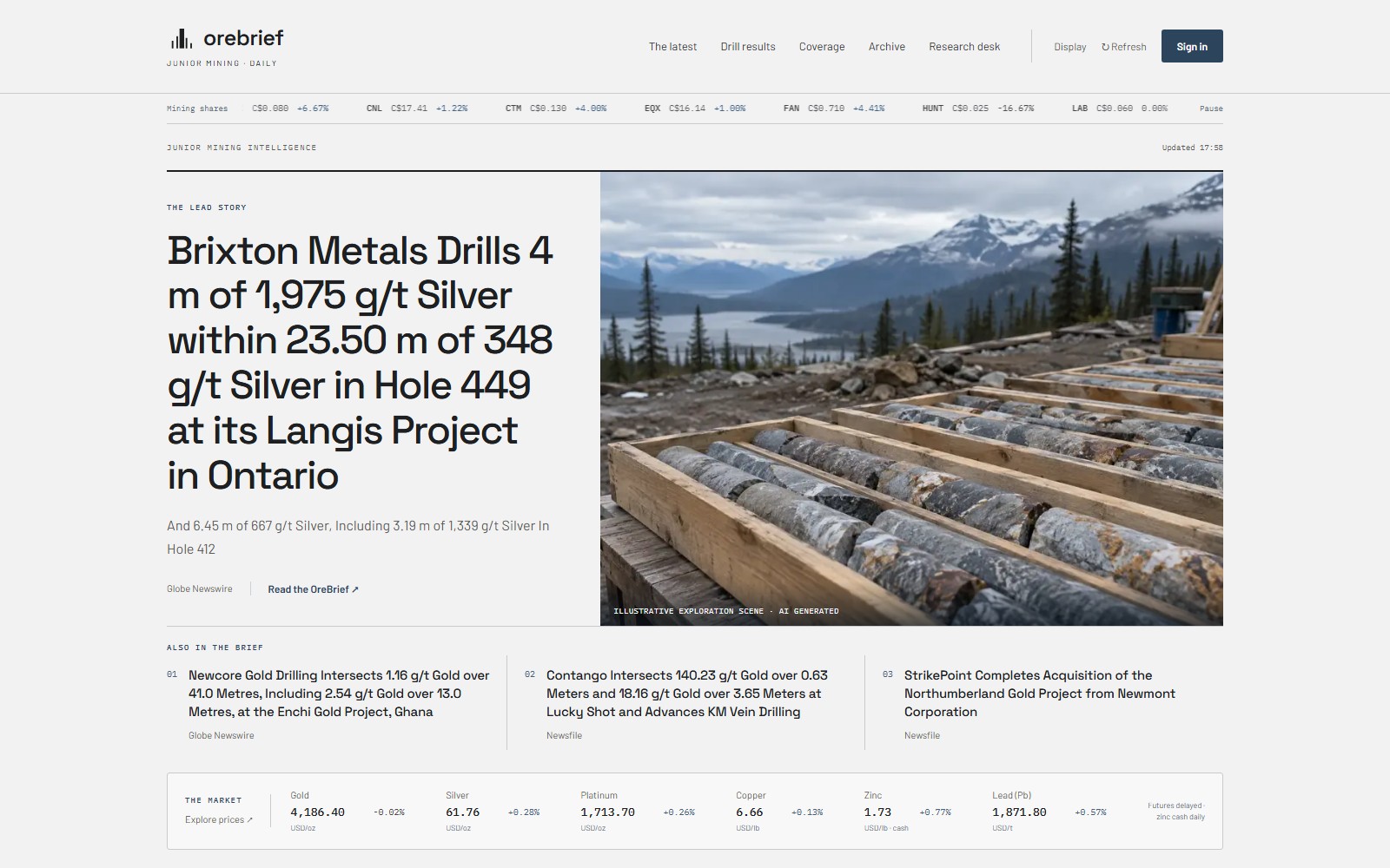
Information monitoringOre Brief
An editorial news desk combining junior-mining releases, drill results, market context, and AI-assisted briefings. A searchable feed keeps daily review focused, with deeper research available in dedicated panels. Shown in the latest design preview.
- Less time moving between news releases and market sources
- Faster scanning by region, metal, deposit type, and catalyst
- A practical example of turning a recurring research task into a usable tool
Read case study →Explore Ore Brief ↗Working tool02
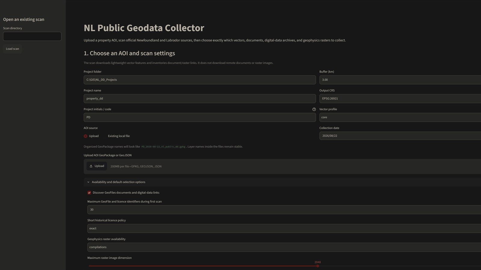
Data acquisitionNL Public Geodata Collector
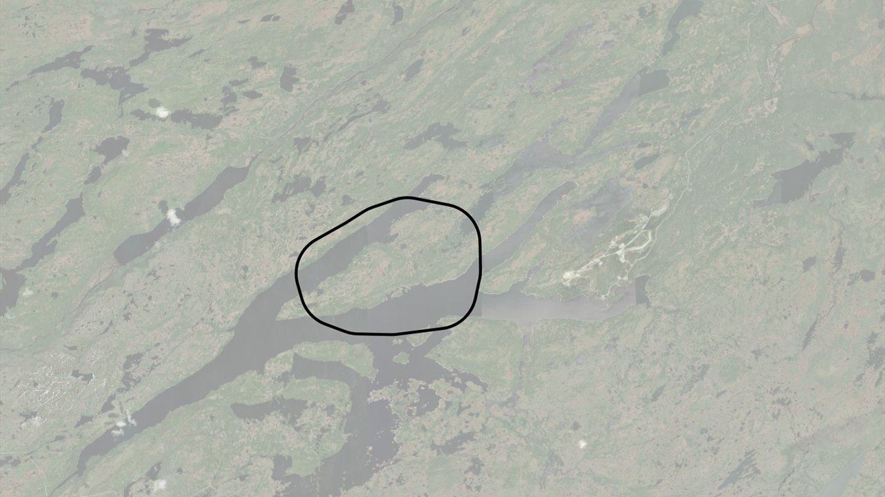
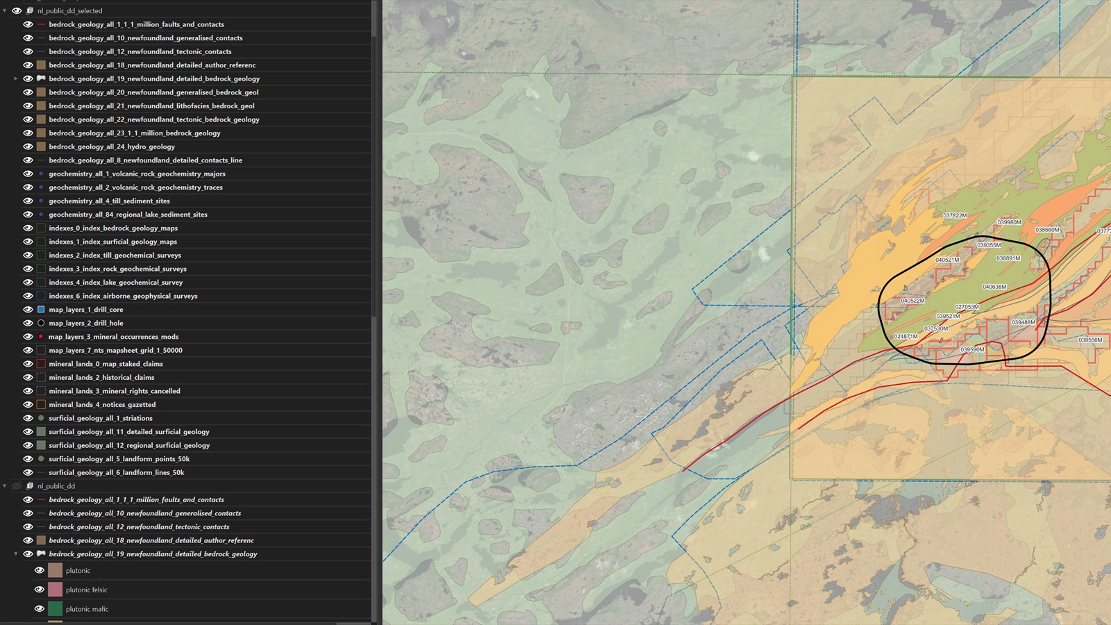
Upload a project area, scan official Newfoundland and Labrador sources, select the relevant vectors, documents, archives, and geophysics, then assemble an organized project package for review in QGIS.
- Area-of-interest driven source discovery
- Consistent naming, projection, metadata, and folder structure
- Faster project setup without losing source provenance
Read case study →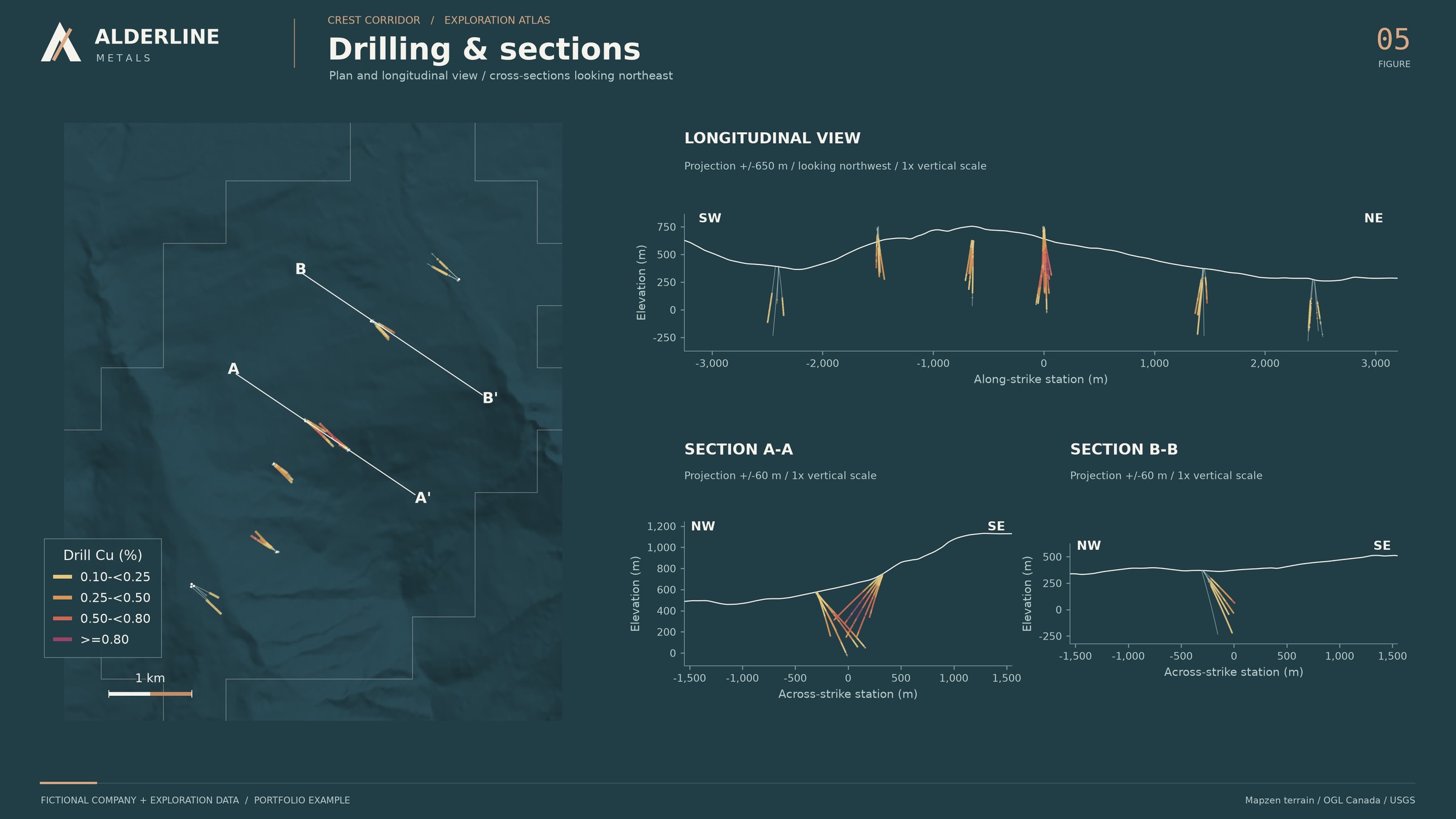
Communications workflow03
Corporate developmentTechnical post composer
A lightweight tool for turning approved technical information and project imagery into consistent, review-ready social graphics across common channel formats. Shown with an original Alderline demonstration figure.
- Reusable layouts for square, landscape, and vertical posts
- Structured messaging, imagery, and disclosure fields
- Human review before anything is exported or published
Read case study →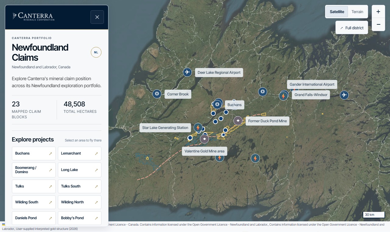
Live website example04
Interactive web GISCanterra Minerals project map
An interactive map embedded in Canterra’s website connects its Newfoundland projects, mineral claims, and regional infrastructure in one geographic view.
- Project navigation and page-specific opening views
- Satellite and terrain basemaps with switchable context layers
- A responsive map shared across the company’s project pages
Read case study →Explore on Canterra’s website ↗Ore Brief and the geodata collector are independent tools. The Alderline figure is an illustrative graphic using a fictional company and synthetic exploration data. The Canterra screenshot shows the public map on its website. Communications work remains subject to company approval and applicable disclosure review.
The useful unit is the workflow, not the buzzword. A small script may be enough; a lightweight internal app can be scoped when repeat use, review, or sharing makes it worthwhile. Automation supports professional judgment and is configured around the project’s data access, source terms, and confidentiality requirements.
Discuss an automation idea →