Independent consulting · Vancouver, BC

Clearer geoscience data.
Better project decisions.

LongRange Geoscience helps exploration teams organize spatial data, produce clear maps, and move technical work from backlog to decision-ready deliverables.

GISMaps & spatial data
QA/QCOrganized, reviewable outputs
BC · RemoteProject-based support
Consulting services

Focused support for
busy exploration teams.

Start with a defined deliverable or a short discovery call. Scope, schedule, rates, and required professional qualifications are confirmed before work begins.

01 / 03GIS & mapping

Maps that are ready
to use and update.

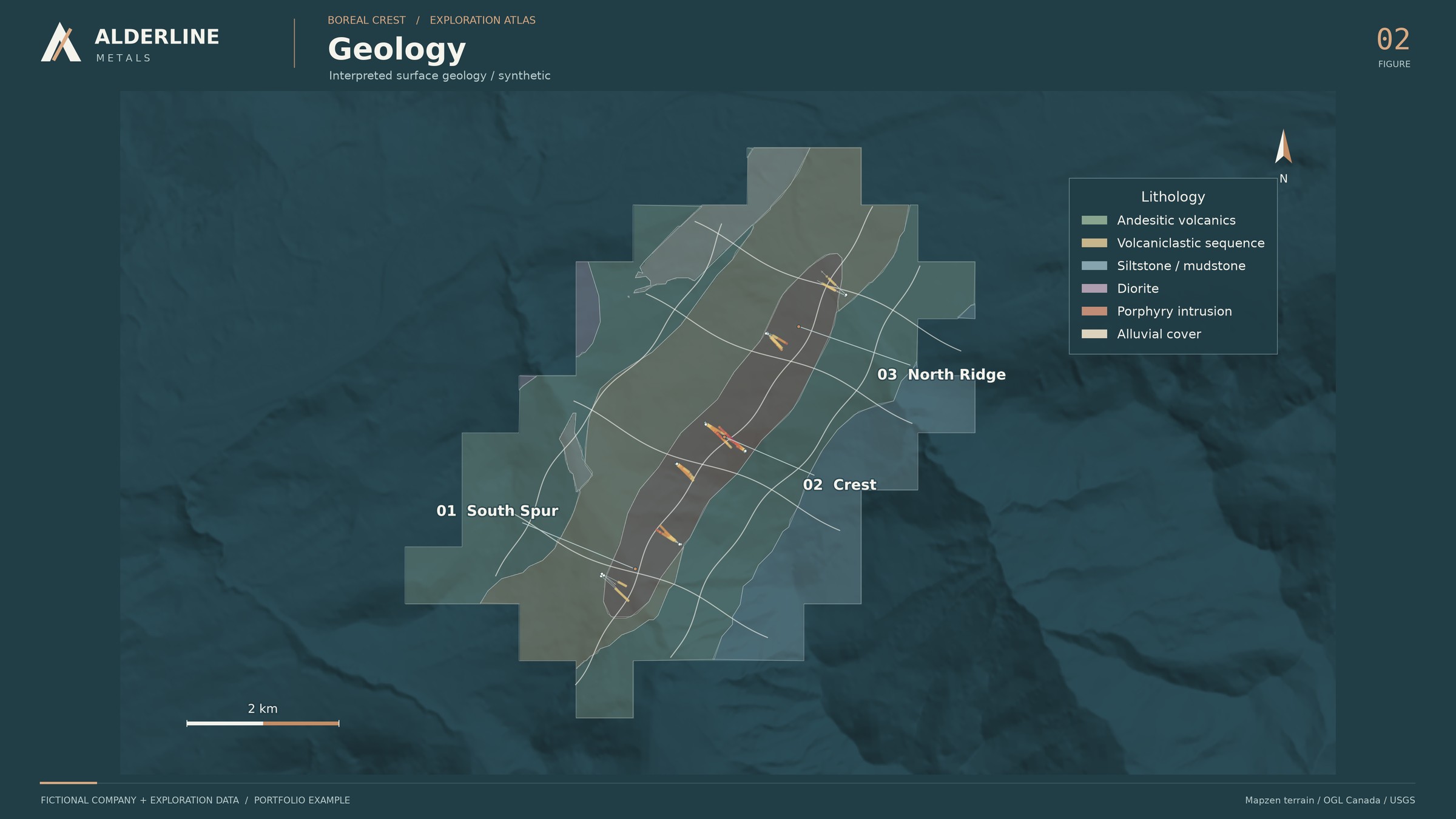
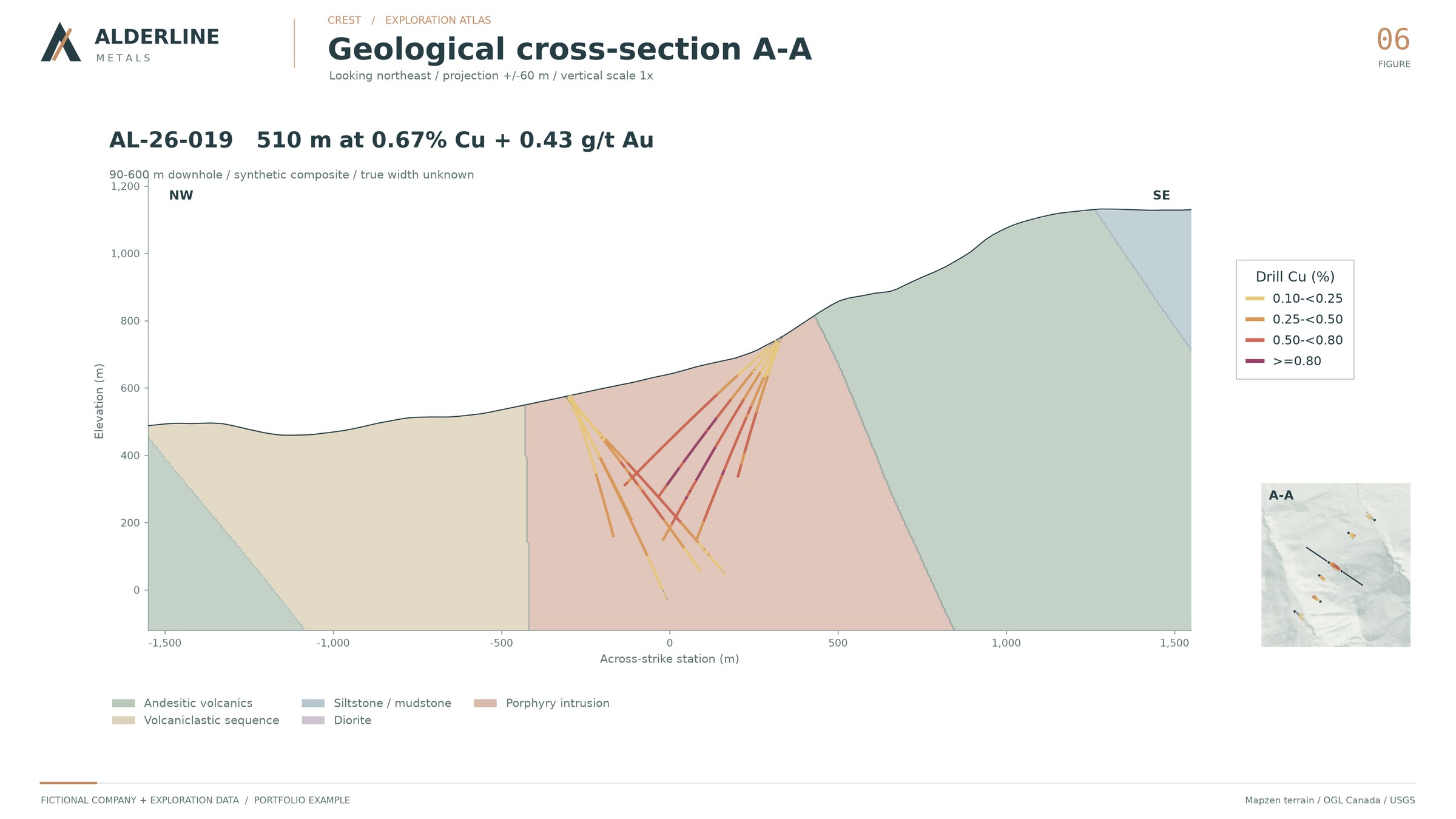
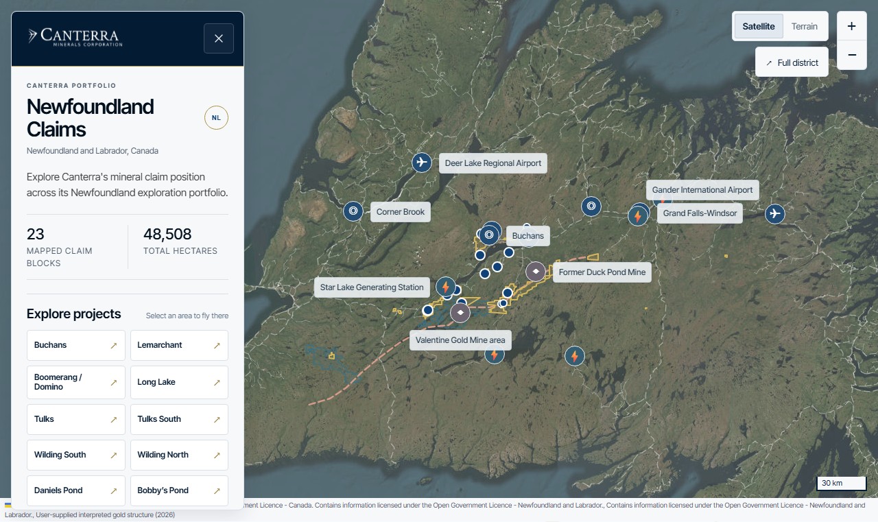
Clean project structures and repeatable map production for internal review, field planning, presentations, and technical documentation.

  • QGIS project setup  and cleanup
  • Geological maps  plans and sections
  • Spatial data conversion  and projection checks
02 / 03Data organization

Technical data you can
trace and review.

Consolidation of scattered project files into documented, usable datasets with clear assumptions and a practical handoff.

  • Dataset compilation  and standardization
  • Basic QA/QC review  and issue logs
  • Deliverable documentation  for the next user
03 / 03Project support

Extra capacity for a
defined technical sprint.

Short, bounded engagements for teams that need hands-on help preparing field, data, mapping, or technical-work packages.

  • Desktop research  and source tracking
  • Field-data preparation  and closeout
  • Technical figures  and review packages
How a trial engagement works

Small scope.
Useful result.

01

Share the problem

Send a short note about the project, current files, desired output, and deadline.

02

Confirm the scope

Receive a written outline of deliverables, assumptions, timing, and fees.

03

Complete the sprint

Work proceeds in a defined block with a midpoint check when the scope needs it.

04

Handoff clearly

Get the agreed files, notes, and a short walkthrough of what changed.

Why LongRange

Independent, practical, and easy to scope.

LongRange Geoscience is being launched as a small independent consulting practice. The initial offer is deliberately narrow: help teams turn geoscience information into organized datasets, clear maps, and usable project deliverables.

The trial model is project-based. There is no long retainer required, and no work begins until the scope, confidentiality needs, professional requirements, and fees are agreed in writing.

A good first engagement should solve one real problem and leave the project easier to work with than it was before.
Start a conversation

What is sitting
in the backlog?

Send a short description of the files, outcome, and timing. A useful first reply will clarify fit and the next step—without a sales presentation.

LocationVancouver, British Columbia · Remote across Canada
Good first projectA defined GIS, mapping, data-cleanup, or technical-figure package
Opens a draft in your email app. Nothing is stored on this site.